


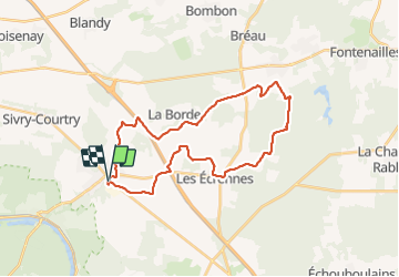

28 km | 32 km-effort

Utilisateur GUIDE


Application GPS de randonnée GRATUITE
 SityTrail
IGN / Instituts géographiques
SityTrail World
Le monde est à vous
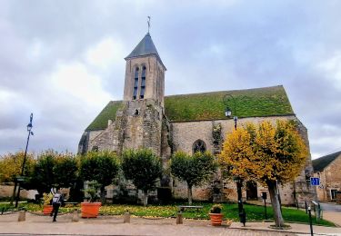
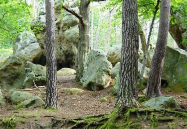
Randonnée Marche de 29 km à découvrir à Île-de-France, Seine-et-Marne, Le Châtelet-en-Brie. Cette randonnée est proposée par chessyca.
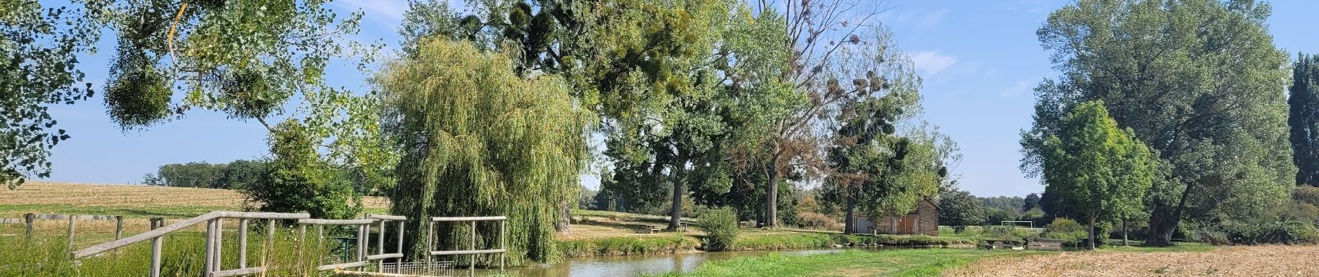
Boucle sans difficulté côté terrain mais rendue difficile par le climat du jour . 32-33 degré
Beaucoup de passages en plein cagnard sans possibilité de s'abriter .


Marche
Marche
Marche

Marche
Marche

Course à pied

A pied

Marche

Vélo